warning
This auction is archived, you cannot bid or buy items from this auction!
1929 railway map Czechoslovakia, 1:850.000, folded, superb condition U:A5
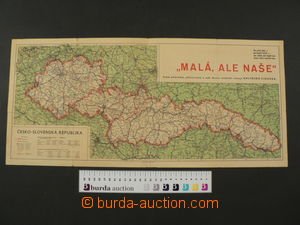
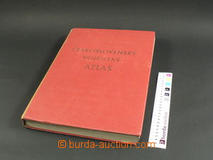
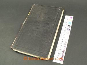
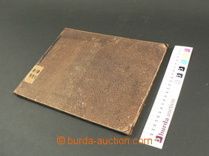
1938 map Czechoslovak republic, comp. 2 pcs of maps, zobrazuje republic without annexed territory Germany, Poland and Hungary, as contemporary document issued Kolín chicory below name "Small, but our", on reverse statistical data about/by annexed územích and počtech inhabitant, folded into smaller format, damaged, tearing in margins, stains, extraordinary document with short time územní validity (ca. 5 months), format 58x26cm, cut map format 90x36cm, without legends, detailed, significant folds 1965 Czechoslovak militar atlas, issued by Our army, Prague, well preserved 1915 Map of electric tracks Prague with timetable, size 40x40cm, small folds in margins 1919 Kozenna B.: Zeměpisný atlas for middle school, 103 maps on/for 57 pages, 15. issue, Höfer and Klouček, Prague, damaged backbone 1850 Berghaus, Heinrich, Dr: Physikalischer Schul-Atlas, issued Justus Perthes, Gotha, 28 maps, hard cover, format 31x24cm, abraded backbone 1870? Austria-Hungary , Coltonova map, issued in New York, mapové podklady from year 1855, format 44x36cm, without folds, good condition 1910? Map hvězdné sky, otáčivá tool for znázornění hvězdné sky in/at every hodině year, made from tvrdého carton, format ca. 31x31cm, 5. issue, issued. J. Lorenz Třebíč, smaller reparation corner, otherwise well preserved U:A5
1932 Guide Lázně Luhačovice, author F.Stavěla, book bound issue, paste-in town map, ca. 200 sides, well preserved