warning
This auction is archived, you cannot bid or buy items from this auction!
1925 ATLAS Stielers Hand-Atlas, 254 main and side maps, copper print, 10. issue, Gotha, total good condition U:X
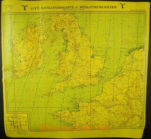
1941 MILITARIA two-sided air navigation map Luftwaffe (airforce), channel La Manche, south Britain, Ireland; middle Europe, scale 1:2.000.000, format 66x63cm, within self-publishing, fluorescing arrangement, below UV lamp thin place, superb U:X
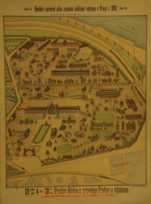
1891 EXHIBITIONS Hynkův plan exhibition in Prague 1891, multicolored, size 46x80cm; folds and small tearing in margins U:A3s|
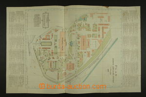
1891 EXHIBITIONS Vilímkův plan exhibition in Prague 1891, multicolored, size 32x50cm; folds, underglued by adhesive strip U:A3s|
1910-40 comp. 12 pcs of special maps 1:75.000, Břeclav, České Budějovice, Klatovy, Kolín, Nepomuk, Pelhřimov, Piešťany, Plzeň, Potštát, Prague, Spišská Nová Ves, Vizovice; mostly underglued by fabric, various condition U:K
1930 comp. 6 pcs of road maps, scale 1:200.000, issued Neubert, map/-s No. 1 - Lipsko–Teplice–Litoměřice, 2- Cheb–Plzeň–Kladno, 3 - Klatovy–Písek–Řezno, 4 - Czech Lípa–Liberec–Trutnov, 5- Praha–Kolín–Vysoké Mýto, also with Bohemia; underglued by fabric, stains U:K
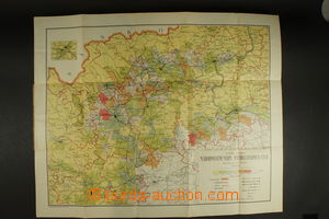
1908 Šubrt, Hošek: Národnostní map north-west Bohemia, issued Bukač, Most, 78x63cm, scale 1:90909, good condition U:O4
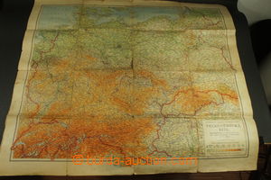
1942 GERMANY Neubertova wall map - Greater German Reich, scale 1:1.500.000, format 96x84cm, folded into format A4, partially torn in folds, light stains U:O4
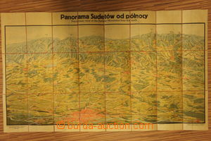
1947 POLAND nástěnné panorama town Wrocław and surroundings, view from north, format 120x70cm, underglued by fabric, folded into format A4 U:O4
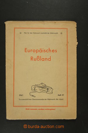
1941 RUSSIA European Russia, map Wehrmacht 1:5.000.000, format 64x87cm, issued Bibliografisches Institut Leipzig, tearing in folds U:O4
1940 GREAT BRITAIN wall map, format 58x91cm, good condition U:A4
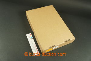
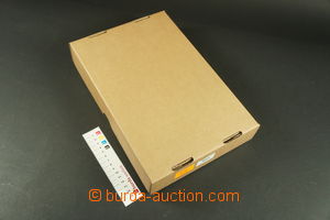
1900-80 [COLLECTIONS] selection of wall maps, tourist and advertising, in cardboard box, total 5kg of material, various quality U:K

![135738 - 1900-80 [COLLECTIONS] selection of wall maps, tourist and a](http://i.burda-auction.cz/webove/nahledy_galerie/135738.jpg)